The only Montana real estate appraisal firm with
custom GIS mapping capabilities.
Over the years we’ve developed advanced mapping and value products to serve the changing and diverse needs of owners, buyers, sellers and other real estate professionals.
Our in-house GIS mapping puts us in a league of our own, and we’re able to provide you with highly detailed maps and information that will help you make more accurate decisions about your property.
Extensive and Compelling Database
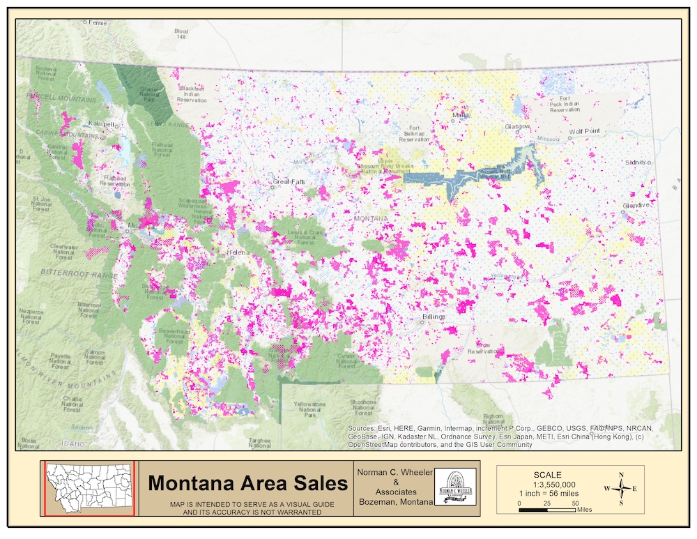
We maintain a 50-year old regional database of confirmed sales and additional market data and have in-house color mapping. The sale and subject property data is maintained in a state-of-the-art interactive geo-database that can be used to visualize and analyze parcel data and to compare and contrast sale characteristics utilizing various overlays of data layers.
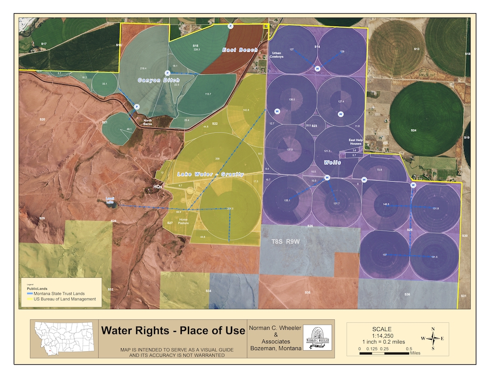
We can also provide spatial and 3-D analysis including aspect, slope, and viewshed of any parcel. Water rights can be mapped with respect to point of diversion and place of use as well as other physical aspects of a property such as easements, roads, fences, buildings, timber, and water resources.